বনের টেকসই ব্যবস্থাপনায় আমাদের যা করতে হবে
Through a wide variety of mobile applications, we’ve developed a unique visual system and strategy that can be applied across the spectrum of available applications.
ArcGIS Desktop and Pro, ESRI Online, Google Earth Engine, Erdas Imagine, IDRISI TerrSet, Google Earth Pro, Expert GPS, GPS Essentials, SNAP 6, ENVI 5.3, sen2cor, QGIS
R programming, Basics of JavaScript, Basics of Python
MS Word 2016, Google docs, MS PowerPoint 2016, Data studio, Camtasia, Edraw Max, Basic Photoshop and Illustrator
R Statistical Package, IBM SPSS v.23, MS Excel 2016, MS Access 2016, Tableau, KoBo Toolbox and ODK
Endnote, Zotero
Computer Office Application Certificate in National Skill Standard Basic Course Examination, 2015 (Bangladesh Technical Education Board, Dhaka). Obtained grade A. Installation and diagnosis of Operating Systems and different software packages. Basic networking and Hardware diagnosis.
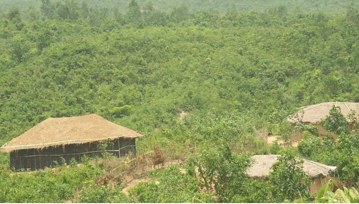
Through a wide variety of mobile applications, we’ve developed a unique visual system and strategy that can be applied across the spectrum of available applications.
Please visit my blogs
Bangladesh National Botanical Garden, located in Mirpur, Dhaka, is a beautiful and serene oasis in the midst of the bustling
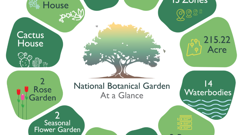
Bangladesh National Botanical Garden, located in Mirpur, Dhaka, is a beautiful and serene oasis in the midst of the bustling city. Established in 1961, the botanical garden is spread across an area of 215 acres and houses a vast collection of plants, trees, and flowers from Bangladesh and around the world.
The garden has over 50,000 plant specimens and over 100,000 visitors every year. It serves as a research center for botanists and researchers from all over the world who come to study and explore the flora of Bangladesh. It also provides a peaceful and relaxing environment for nature lovers and tourists to escape the chaos of the city.
The botanical garden is divided into several sections, each with its own unique collection of plants and trees. The Medicinal Plant Garden is home to over 200 species of plants that are used in traditional medicine to treat various ailments. The Palm House is a must-visit section, featuring a stunning array of palm trees from around the world.
The Orchid House is another popular section that showcases over 200 species of orchids, including the rare and endangered ones. The Rose Garden is a favorite among visitors, especially during the winter season when the roses are in full bloom.
Apart from the different sections, the botanical garden also has several lakes, ponds, and streams that add to the beauty and tranquility of the place. It’s a great place for picnics, walks, and photography, as there are plenty of picturesque spots throughout the garden.
Overall, the Bangladesh National Botanical Garden is a must-visit destination for anyone visiting Dhaka. Its diverse collection of plants, serene atmosphere, and beautiful surroundings make it a perfect escape from the city’s chaos. So if you’re in Dhaka and looking for a peaceful and relaxing place to spend some time, head over to the botanical garden and immerse yourself in the beauty of nature.
Google Earth Engine is a powerful cloud-based platform that enables users to analyze and visualize geospatial data. One of the

Google Earth Engine is a powerful cloud-based platform that enables users to analyze and visualize geospatial data. One of the most common applications of Earth Engine is crop classification, which involves identifying different types of crops Google Earth Engine is a powerful cloud-based platform that enables users to analyze and visualize geospatial data. One of the most common applications of Earth Engine is crop classification, which involves identifying different types of crops.
Remote sensing data, such as satellite imagery, can provide valuable information about crops and their growth patterns. For example, the reflectance of different crops at different wavelengths can be used to distinguish between different crop types. In addition, other information such as the timing of planting and harvesting, as well as the use of fertilizers and pesticides, can be inferred from the satellite data.
To perform crop classification using Earth Engine, the first step is to acquire the relevant satellite imagery. Google Earth Engine provides access to a wide range of satellite data, including Landsat, Sentinel-2, MODIS, and others. Once the imagery is loaded into Earth Engine, various preprocessing steps may be necessary, such as cloud masking and atmospheric correction.
Next, a classification algorithm is used to identify different crop types in the imagery. Earth Engine provides several algorithms for this purpose, including Random Forest, Support Vector Machine, and Maximum Likelihood. These algorithms use statistical and machine learning techniques to analyze the satellite data and classify each pixel into one of several crop categories.
Once the classification is complete, the resulting map can be visualized and analyzed within Earth Engine. The map can also be exported in various formats, such as GeoTIFF or KML, for use in other software packages.
One of the main advantages of using Earth Engine for crop classification is its scalability. Earth Engine can handle large amounts of data and perform computations in parallel, which makes it possible to analyze vast areas of land in a relatively short amount of time. In addition, Earth Engine provides access to a wide range of ancillary data, such as climate and soil data, which can be used to improve the accuracy of the crop classification.
Another advantage of using Earth Engine is the ability to perform time-series analysis. By analyzing satellite data over time, it is possible to track changes in crop growth and identify trends and patterns. This information can be used to inform decision-making in areas such as agriculture, land use planning, and environmental management.
In conclusion, Google Earth Engine is a powerful tool for crop classification and analysis. Its scalability, machine learning algorithms, and access to ancillary data make it a valuable resource for researchers, policymakers, and others interested in understanding and managing crop production.
iTree is a web-based application that provides users with a comprehensive analysis of the benefits that trees provide to urban

iTree is a web-based application that provides users with a comprehensive analysis of the benefits that trees provide to urban areas. The tool was developed by the US Forest Service in collaboration with several other organizations and is freely available to the public.

The iTree software uses inputs such as tree species, size, and location to estimate the environmental benefits that trees provide. Some of the benefits that are calculated include air pollution removal, carbon sequestration, energy savings, and stormwater mitigation.
One of the most significant benefits of iTree is its ability to quantify the monetary value of these benefits. This information can be used by urban planners, city officials, and other stakeholders to make informed decisions about the management and preservation of urban forests. For example, iTree can help determine the optimal location for tree planting projects, or it can be used to demonstrate the economic value of existing trees to local residents and businesses.
The iTree application is also an excellent educational tool. The software is user-friendly and can be used to teach students and community members about the importance of trees in urban environments. It can also be used to raise awareness about the need to preserve and protect urban forests.
iTree has been used in a variety of settings across the United States and in other countries. For example, the City of Philadelphia used iTree to conduct an assessment of the environmental benefits provided by trees in the city. The results of this assessment were used to develop a comprehensive urban forestry management plan for the city.
Overall, iTree is a powerful tool that can help promote the preservation and management of urban forests. Its ability to quantify the environmental and economic benefits of trees makes it a valuable resource for urban planners, city officials, and other stakeholders. By using iTree, communities can make informed decisions about the management of their urban forests, leading to healthier and more sustainable cities.
Institute of Forestry and Environmental Sciences, Chittagong University (IFESCU)
Institute of Forestry and Environmental Sciences, Chittagong University (IFESCU)
Funded by : USAID
Funded by : SIDA
Funded by : UNHCR - The UN Refugee Agency
Funded by : Kwansei Gakuin University, Japan
Funded by : BCCP and John Hopkins University
Organizer: USFS and BFD
Organizer: USFS
Organizer: USFS, Green Savers
Organizer: USFS, Arranyak Foundation
Organizer: UNDP, IOM, UNOPS
Type: Report; Publisher : Compass, US Forest Service International Programs
Type: Report ; Publisher : UNDP Bangladesh
Type: Review article; Publisher: Geology, Ecology, and Landscapes- DOI: https://doi.org/10.1080/24749508.2018.148 1656
Type: MS Thesis; Publisher: Institute of Forestry and Environmental Sciences, University of Chittagong
Type: Undergraduate project paper; Publisher: Institute of Forestry and Environmental Sciences, University of Chittagong
Type: Management plan; Publisher: Institute of Forestry and Environmental Sciences, University of Chittagong
Type: Journal Article; Publisher: Indian Journal of Economics and Development. Available online at http://ijed.informaticspublishing.com/index. php/ijed/article/view/81514
Type: Poster Presentation; Publisher: Workshop on “Empowering Youth with Earth Observation Information for Climate Actions in Bangladesh”. Funded by ICIMOD, NASA and USAID in Collaboration with BCAS

My name is Liza Vida C. Paqueo, with the USDA Forest Service International Programs. I am a senior global urban ecologist. We work with over 90 countries worldwide to improve lives. One of the efforts that we undertake is through urban forestry as well as community engagement. Sahadeb is an urban forestry specialist and colleague based in Dhaka, Bangladesh. He is extremely knowledgeable in tools such as GIS and i-Tree and have used them to help urban communities understand the benefits of urban, peri-urban and rural forests. Sahadeb was instrumental in the integration of i-Tree across Dhaka and has also completed the 2023 International Phytoremediation Training Academy. Sahadeb is an astute and thoughtful urban ecologist. He is a leader. Together with his unparalleled ability to communicate science as well as insight into the needs and cultural context, he can successfully navigate the needs of various stakeholders in order to better engage communities. He would be an asset to any program of learning, as he can not just implement what he has learned but also provide awareness from his experience and background.

I’ve known Sahadeb for the past 14 years, we went to undergrad and grad school together. Since then, we keep in touch regularly, discussing the latest advancements in geospatial analytics for ecological applications. He is an incredible person, with deep expertise in multispectral, hyperspectral, and microwave remote sensing. We often chat about tools, coding, machine learning, and advanced geospatial techniques- areas he applied brilliantly in his thesis and works. I am proud to say my friend Sahadeb is making a significant contribution to the forestry sector in Bangladesh through his work on development projects, research, and non-profits. His technical expertise, forward-thinking approach, and leadership in research design, implementation, and scientific writing truly set him apart as an expert in his field. I strongly endorse him for any advanced role that demands sophisticated GIS and remote sensing skills.

I am pleased to recommend Mr. Sahadeb Chandra Majumder as an exceptional researcher and professional in natural resource management. A top graduate from the University of Chittagong, he excels in ecosystem services, geospatial analysis, and carbon inventory, with strong skills in Python, SPSS, and R. Through international projects with USDA Forest Service and UNDP, Sahadeb has honed expertise in GIS, remote sensing, and spatial modeling. His dedication, leadership, and collaborative spirit are evident in his impactful research, including co-authoring a manuscript on urban forestry and air quality. Sahadeb is an asset to any academic or professional endeavor, combining technical excellence with a proactive approach.

Sahadeb is a good listener and learner. He grasps new ideas quickly. He has excellent interpersonal skills with helpful motives for other. Best wishes ahead.

Sahadeb Chandra Majumder was a steller professional in the USAID COPASS project. He carried out his regular duties with great dedication and most importantly, he spread his responsibilities widely to mentor, educate, train, promote and, engage forest and environmental degree students as well as the government officials in urban forestry. He was always on top of achieving the project targets with analytics and innovative utilization of visual data and management. I believe with the PhD. degree will add a significant milestone and help moving him in the upper echelon of his career goal.

I enjoyed working with Sahadeb at UNDP, where he significantly contributed to our team. His profound expertise in Bangladesh’s forestry and environmental sectors was invaluable. Sahadeb was pivotal in developing web GIS tools, data analysis, and complex spatial tasks such as watershed modeling and remote sensing data interpretation. His ability to transform intricate datasets into clear, actionable insights greatly enhanced the efficiency and effectiveness of our projects. In addition to his technical skills, Sahadeb’s strong communication, collaborative spirit, and innovative approach were tremendous assets. He was consistently a joy to work alongside. I highly recommend him for any position requiring advanced GIS expertise and strong communication skills to bridge technical jargon and strategic vision.
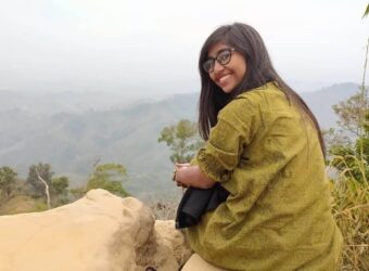
I had the absolute pleasure of working with Sahadeb da during my tenure at the USDA Forest Service's Compass program, where he shined as the Program Coordinator for GIS and Urban activities. He’s a phenomenal leader, steering the team through the pioneering Urban Tree Inventories of Dhaka and the NBG Tree Census using i-Tree tools with incredible technical skill. His expertise in forest inventory, GIS, and ecosystem services is top-notch, and he even makes the most complex data tasks—like acquisition, analysis, and modeling—look effortless. What really impressed me was his gift for turning complicated data into clear, visually engaging insights that everyone, from tech experts to novices, and his open mindedness to sharing knowledge, is worth appreciation. On top of that, he’s a fun person, an amazing communicator and team player, always fostering collaboration and staying laser-focused on work quality and innovation. His technical skills and leadership were key to the success of Compass’s urban and geoinformation activities, and working with him was an amazing experience! Wish to learn more from him on data analysis and geoinformatics.
Quite a starter question. GIS stands for Geographic Information Systems.
To put it in a more strict definition, GIS is a system of computer software, hardware, data, procedures and personnel combined to help, manipulate, analyze, and present information that is tied to a geographic location.
QGIS, ARCGIS, ARCGIS pro, Google Earth Engine
Not exactly. It contains maps or better can create maps. Think GIS as a set of systems and services that help you store, analyze, process and share geolocated data
Geocoding is the process when you associate a place name, an address (or other kind of information) with map coordinates.
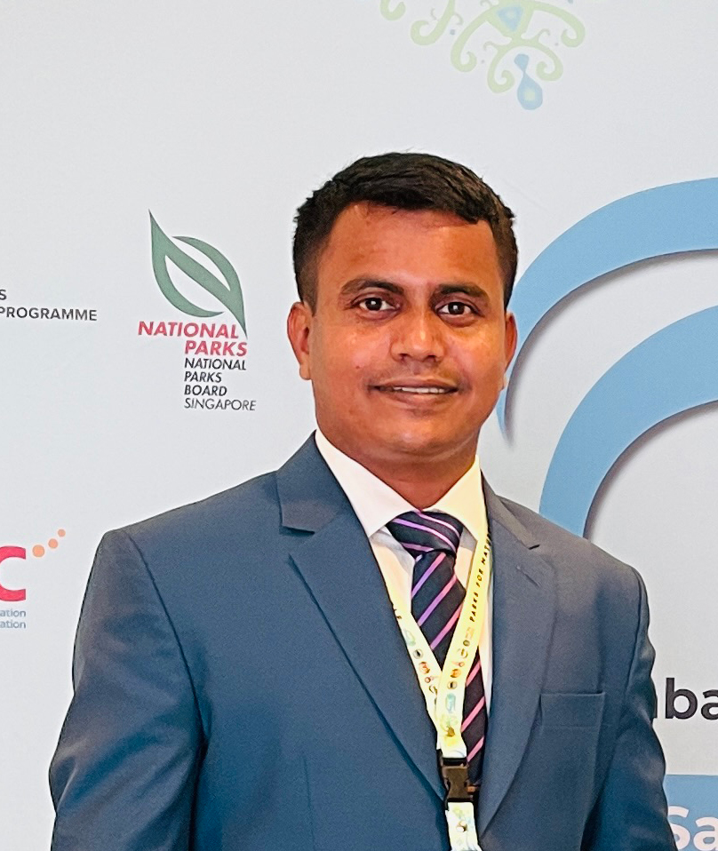
Welcome